“The Persian Gulf” Is One of Our Four Red Lines in Mapping Iran
1404/02/21-17:38
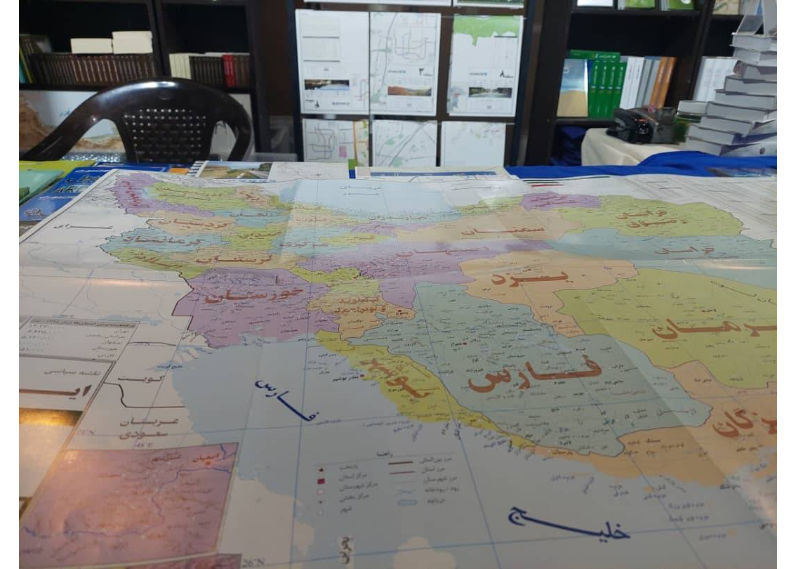
The director of Iranology Publications emphasized that the use of four names—the Sea of Oman, the Caspian Sea, the Persian Gulf, and the Strait of Hormuz—are non-negotiable red lines in the preparation of maps of Iran.
According to the News Headquarters of the 36th Tehran International Book Fair, Amirhossein Bakhtiari, in an interview with the fair’s news team, stated:
“In larger maps, in addition to these four names, the names of all the islands are also included.”
He highlighted that Iranology Publications has been active since 1993 (1372 in the Iranian calendar), supporting researchers and serving as a bridge between scholars and the public. “Our aim is to provide readers with accurate scientific information in fields like history and geography,” he said.
Bakhtiari added, “Some misconceptions have unfortunately turned into public beliefs. We aim to eliminate such superstitions. For example, by properly understanding plant and animal life, false beliefs like owls being a bad omen or lizards being poisonous can be corrected.”
He also noted that the travel books published by Iranology seek to share real-life experiences. “In the book ‘How to Become a Travel Writer’, readers are taught how to write their own travelogues,” he explained.
The 36th Tehran International Book Fair began on May 6, 2025, and will continue until May 16, 2025, under the slogan “Let’s Read for Iran” at the Imam Khomeini Mosalla. At the same time, the virtual version of the fair is available on the platform book.icfi.ir, allowing remote book purchases for interested readers.